©2023 Snapping the Globe, L.L.C. All rights reserved.
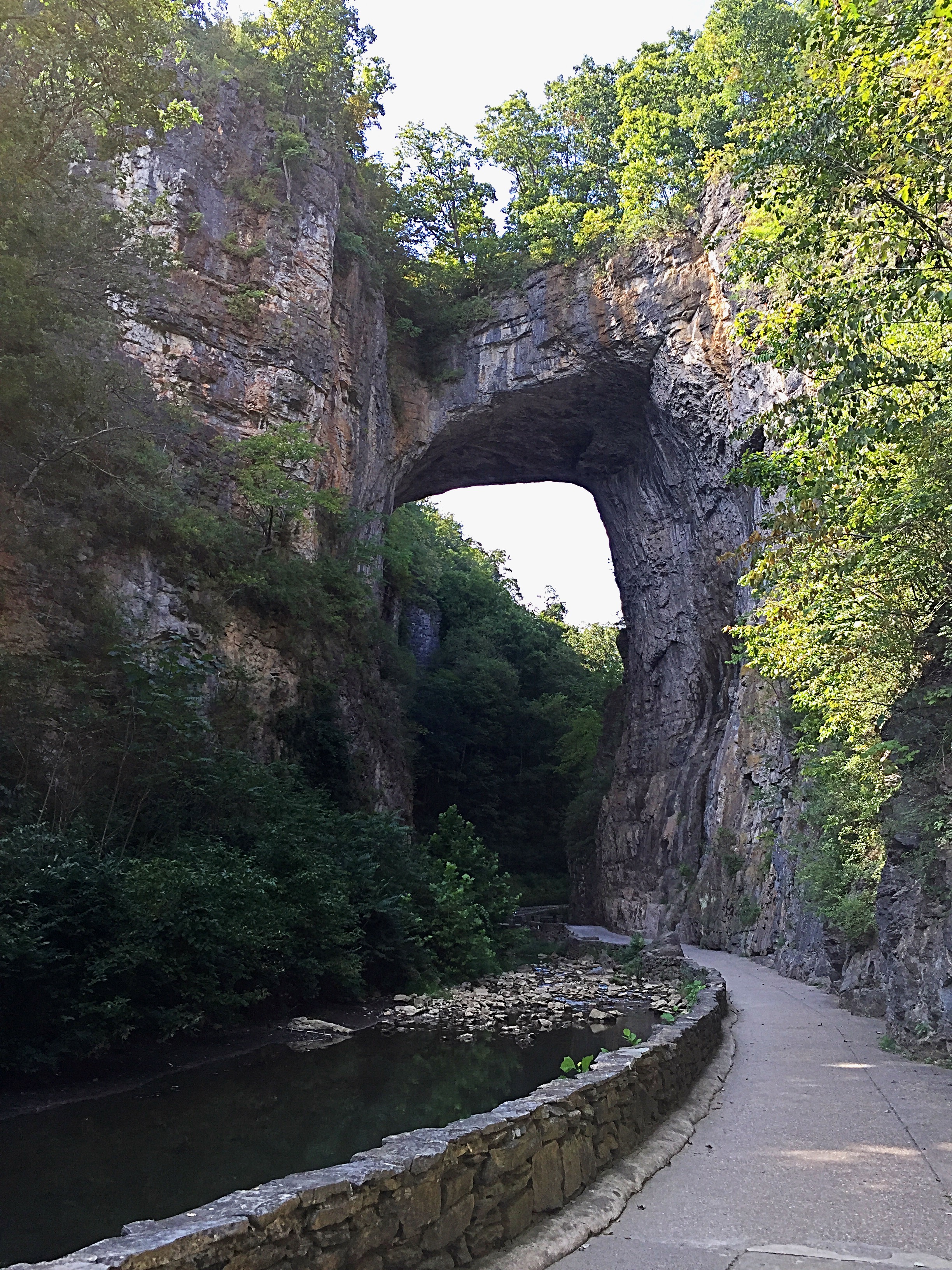
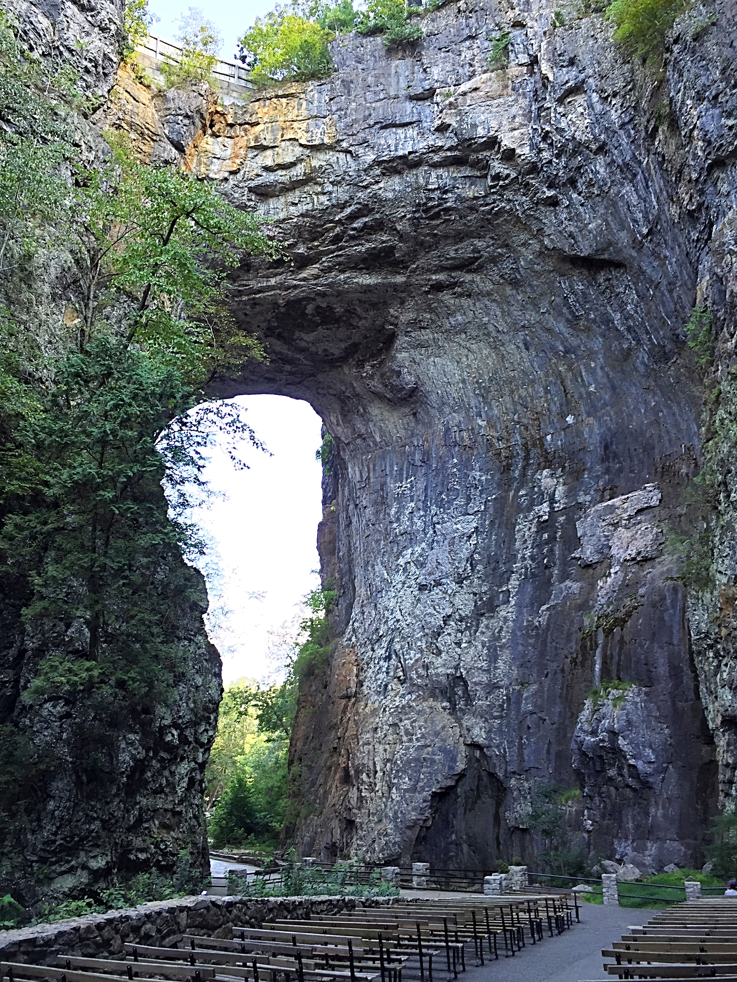
Years ago, during my first ever visit to Aruba, my husband and I had visited the island’s natural bridge. The Aruba Natural Bridge was a coral limestone arch, measuring approximately 25 feet high and 100 feet long and the remnants of an ancient cave. Many years later, we had heard that this well known attraction had sadly succumbed to mother nature on September 2, 2005.
Even though I was aware that this tourist attraction no longer existed, we decided to take a drive out to the location and at least walk among the nearby ruins of the Bushiribana Gold Mill Ruins…it wouldn’t take long and there were some other things along the way that we wanted to see.
As we drove along the dirt road, we noticed a great deal of traffic headed out that way and then subsequently, a packed parking area. While the original Natural Bridge no longer existed, a smaller version, the Aruba Baby Natural Bridge, is located nearer to shore. Not as impressive as the original, however, it still draws large crowds and the occasional idiot who ignores the warning signs and tries to walk across it!


After a few photos and a stop in the Visitor’s Center for drinks and the restroom, we headed over to the Bushiribana Gold Mill Ruins. Once a bustling mill which existed during Aruba’s gold rush, it used the power of strong ocean winds to crush stone and isolate gold ore. Ore was processed into fine gold and exported. The mill only operated for a couple of decades and was closed to make way for a newer, state of the art mill at Balashi, in Aruba’s interior.

Sitting vacant in the harsh environment of Arikok National Park for more than a century, only its natural stone walls remain and it is open to visitors who can walk freely throughout the structure. While there is not much to see besides what is left of the structure, its contrast against Aruba’s brilliant blue skies makes for beautiful photographs and it offers a bit of exercise while climbing to different levels of the mill. Stunning views of the Caribbean can be had from the structure as well as from the ocean’s edge where dozens of cairns line the water’s edge.


I remembered these cairns from the first time I had visited the island and was surprised to see many still in place. Some controversy has arisen due to the practice. While tourists think it is a way to “make a wish” or stack the rocks as a “monument” or “landmark”, National Park officials have condemned the practice as it defaces the natural beauty of the area and upsets the habitats of many species.


Moving on, we left the park, with our visit to the Donkey Sanctuary the day before still on our mind. We had enjoyed our interactions with those amazing animals so much, that when we learned that there was an ostrich farm in close proximity, we decided to make it our next stop.
Luckily, after paying our admission, we learned that we didn’t have to wait long for the next tour to begin. After spending a few minutes browsing in the gift shop, we heeded our summons into the farm’s open-air atrium which was decorated with African figurines and long wooden handcrafted tables where guests can enjoy meals from the farm’s restaurant, Savannah.


Our guide, a colorful, Crocodile Dundee look-a-like, introduced himself, gave us a short background on the farm’s history and then led us out onto the dusty pathways between the gated pens. We were introduced to the adult emus and ostriches and learned about the ostriches speed and defense mechanisms as well as about their mating, rearing and feeding habits. At this point, we were each invited to feed two of the ostriches. As my son and I held a bowl, the up and down bobbing of their heads, as they gobbled up their food, was quite comical. “Mr. Dundee” filmed the entire spectacle so that we could remember “that time we fed an ostrich!” and then we all moved on, aiming to meet the other residents. If we thought that the donkeys had unique personalities, we found that the ostriches’ were outrageous with their goofy bald heads, loopy gait and how they followed us, watching carefully.


And then…for the emus…the three-toed cousin of the ostrich. Though I knew that emus were different than ostriches, my knowledge of the differences pretty much ended at the fact that they were smaller. So yes, we were informed that while emus and ostriches share many physical characteristics such as broad eyes, elongated, featherless necks, long, strong legs that can maintain high speeds when running, long dagger-like claws and large wings that are not used for flight, but for courtship, they are quite different and more so than their toes.
While emus are the largest birds in Australia, they are small when compared to the ostrich, the largest bird on earth. Emus have three toes on their feet and ostriches have two plus a long tendon that allows them to run at speeds of up to nearly 45 miles per hour. Emus generally top out at 30 miles per hour and are much more docile toward humans than the ostrich. This, we witnessed as a male ostrich acted a bit hostile towards our tour guide and then stole his hat. And, while we were only allowed to feed the ostriches from a bowl, we were allowed to hand feed the emus, something I would not have dared to do with the ostriches earlier.

Finally, our tour concluded with a visit to the incubator, hatchery and the special pens for the young ostriches and emus. Seeing the size of the ostrich eggs was quite fascinating…talk about a huge omelet!

After our visit to the ostrich farm was complete, we decided that we had time for one more tourist attraction, the Casibari Rock Formations. Proof of its popularity was the many tour buses parked in the adjacent lot, however, we were not deterred.
The Casibari Rock Formations is a series of boulders that are piled almost randomly in the Aruban desert just north of Hooiberg. Scientists cannot explain what geological even might have created these formations, though there is speculation that it may have been the shifting of the tectonic plates. Archaeologists and historians are fascinated by the petroglyphs and paintings that appear on many of the rocks, drawn by the Arawak people who deemed this land sacred.

As we made our way through the entrance, we found an interesting rock formation called “Dragon Mouth”, one of many found throughout the park. Following the trails and paths which weave throughout the area, we also noted that many of the enormous stones were also named for animals which they resemble.


Making our way to the highest point, we were rewarded with sweeping views of the island as well as of the Hooiberg, also known as the Haystack, a volcanic formation that towers some 540 feet above Aruba.


There were many beautiful cacti throughout the premises and we learned that many creatures inhabit the area, including iguanas to burrowing owls.


Last, but not least, we drove to the nearby Ayo Rock Formations, similar to the Casibari Rock Formations. As with the former visit, we found many trails and stairways which took us throughout the premises and spotted many petroglyphs, some protected by iron bars. This one, however, had some gigantic wind-carved boulders which were piled in such a way that it created tunnels and caves. We also spotted an opening in one of the rocks which contained a white female statue.


Being in the heat of the day, with no protection from the sun, we decided that our tour of the central part of the island was complete. It was now time to head to the coastline and its blue waters and white sands for some cooling off. This time, we headed to the far opposite of the island from where we had put our toes in the water the day before. First, we tried Eagle Beach, a wide swath of golden sand which offers chairs, umbrellas (for a fee), food and drink options and jet ski rentals. Not long after our arrival, the skies darkened and the wind picked up, pelting us with sand. Deciding it wasn’t the place for us, we headed down to Arashi Beach, which had some good waves and chairs and umbrellas for rent. A nice way to spend the remainder of the afternoon, we lounged in the sun before finally headed back to our hotel, right in time for another beautiful sunset.
Our third day was definitely packed with Aruba’s top sights, natural bridges, ruins, rocks and ostriches.
Aruba doesn’t disappoint!
For more photos, check out Facebook, Snapping the Globe and Instagram, @snappingtheglobe.
Aruba Natural Bridge
- https://www.facebook.com/Naturalbridgearuba
- Address: Windward Coast, Andicuri Beach, Arikok National Park, AW
- Hours: 24 hours, daily
- Admission: free
Bushiribana Gold Mill Ruins
- Hours: 24 hours, daily
- Admission: free
Aruba Ostrich Farm
- https://www.arubaostrichfarm.com/
- Address: Matividiri 57, Aruba
- Hours: Tour Schedule, every hour from 1000 until 1500 every day of the week.
- Admission: Adults, $15.00, Children, $8.00
Casibari Rock Formations
- https://www.aruba.com/uk/explore/rock-formations
- Address: Casibari 8B, Santa Cruz, Aruba
- Hours: 24 hours, daily
- Admission: free
Ayo Rock Formations
- Hours: 24 hours, daily
- Admission: free
Eagle Beach
- https://www.aruba.com/us/explore/eagle-beach
- Address:
- Hours: 24 hours, daily
- Admission: free. Beach chairs and umbrellas available for rent.